Rifugio Alimonta | 2,580m (8,465 ft)
Location
Busa degli Sfulmini / Madonna di Campiglio
Description
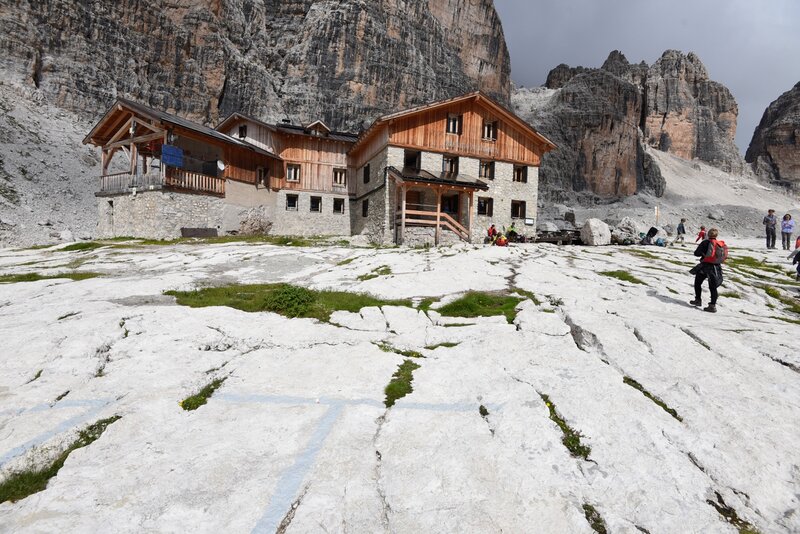
In the mid-1960s, Ezio Alimonta and his father, Gilio, both alpine guides, were coming down from the Brenta summit when, at the base of Vedretta degli Sfulmini, they looked around and said, “There should be a lodge up here to give mountaineers shelter as close to these mountains as possible.” They’d picked the right place. Just a few years later, in 1968, in one of the most majestic spots in all the Brenta Dolomites, they inaugurated this lodge which is to this day, after a series of expansions, still managed by the family of alpine guides for which it was named. Rifugio Alimonta is a key base for Via delle Bocchette, right up against the rock, where one can dream to be a mountaineer.
Access
Main access (ESC)
From Madonna di Campiglio, road to Ristorante Vallesinella (1,513m / 4,964 ft) with parking (shuttle service in summer). From Vallesinella, direction of Rifugio Casinei (1,825m / 5,990 ft), continue along trail no. 318 towards Rifugio Brentei (2,182m / 7,160 ft) and then left (fork no. 305 inferiore) in about 1.5 hours to Vallone dei Brentei. From Vallesinella, total time 4.25 hrs.
The lodge is accessible from June to September (verify dates).
PHOTOGRAPHY INFO
Themes
Sunset / Rock
This is a perfect spot to work on your rock photography skills. Located at the center of a natural basin, it features stunning panoramas of the Lares glacier as well as of Torre di Brenta in excellent position for an amazing red sunset shot. Like at other lodges, taking due caution it is easy to get around the area as you take original wide-angle landscape shots or telephoto shots of close-up details.
Time
Preferably late afternoon as the warm light colors the surrounding peaks. We recommend staying overnight in order to get shots of the sunset, the starry night free from light pollution, and the sunrise of the following day.
For technical advice, visit the page Pro Tips.
Legend
TUR = Touristic trail | ESC = Hiking trail | EE = Hiking trail for experts | T = time | QP = starting altitude | QA = arrival altitude

